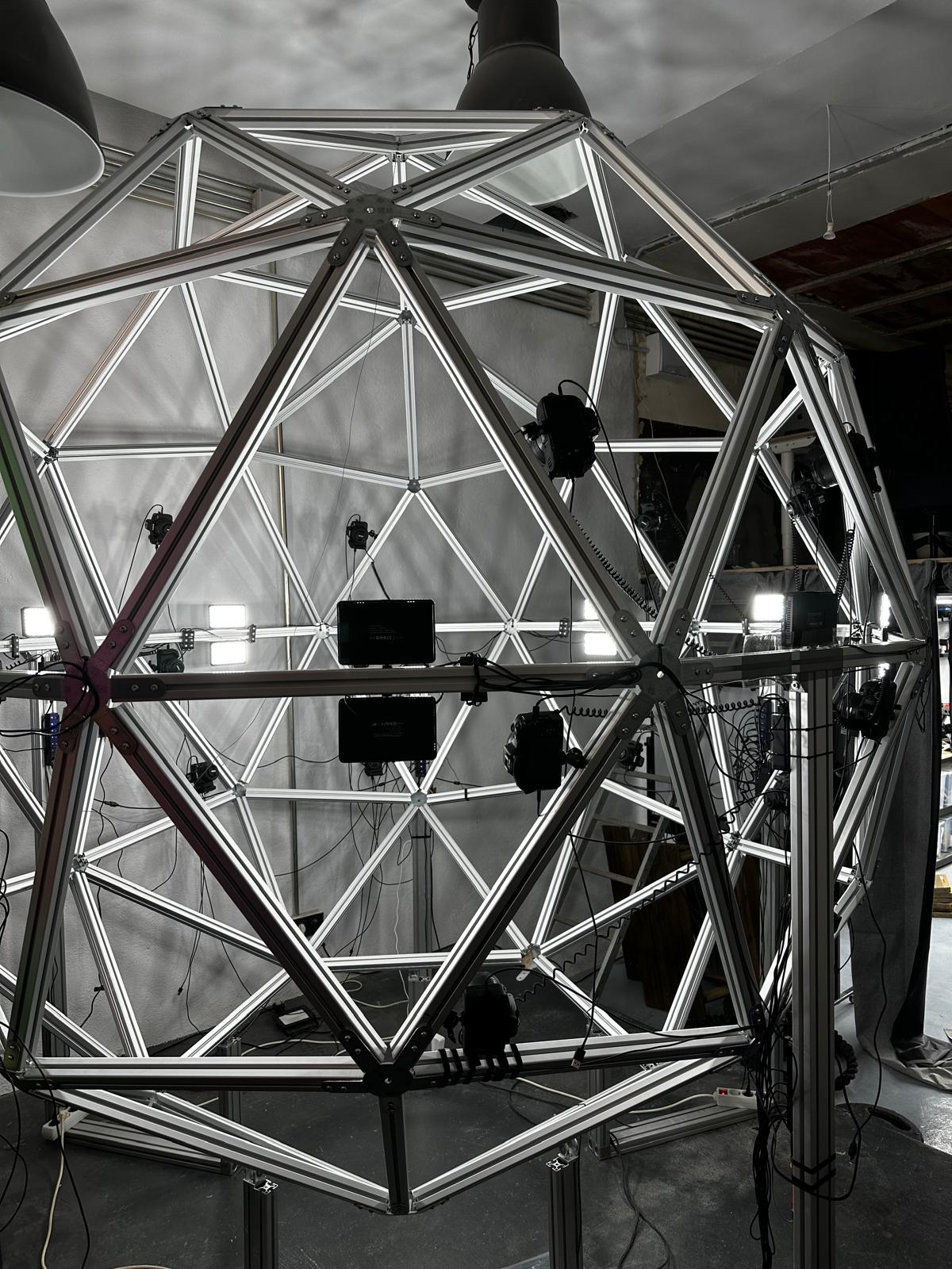
"Which is better, photogrammetry or LiDAR?" is the wrong question — it's like asking whether a hammer is better than a screwdriver. The right answer depends entirely on what you're capturing, how it will be used, and what tradeoffs you're willing to make. Here's how we think about it.
Photogrammetry: texture-first, camera-driven
Photogrammetry reconstructs 3D geometry from a set of overlapping photographs, using the parallax between images to triangulate surface positions. Because it starts from photos, it excels at capturing rich, accurate color and texture detail.
Where it shines:
- Human subjects, products, and organic forms where surface detail and realistic texture matter
- Small-to-medium objects captured in controlled, well-lit environments
- Workflows feeding VFX, fashion tech, or e-commerce, where visual fidelity is the priority
Where it struggles:
- Featureless or reflective surfaces (blank walls, glass, glossy metal) that give the algorithm nothing to triangulate against
- Very large scenes, where capture time and processing scale quickly
LiDAR: geometry-first, distance-driven
LiDAR measures distance directly by timing laser pulses reflected off a surface, building a point cloud independent of lighting or surface texture. It trades some visual richness for geometric reliability.
Where it shines:
- Large-scale environments — buildings, industrial sites, outdoor scenes
- Low-light or inconsistent lighting conditions where cameras struggle
- Applications where dimensional accuracy matters more than surface appearance
Where it struggles:
- Fine surface detail and color fidelity — point clouds are geometrically strong but visually sparse
- Cost and equipment complexity relative to camera-based capture
When a hybrid pipeline wins
For many real projects, the best answer is both: LiDAR to lock down accurate scale and structure, cameras to layer in photorealistic texture on top. This is increasingly common in cultural heritage capture, large industrial assets, and any project where both dimensional accuracy and visual quality are non-negotiable.
A simple way to decide
Ask two questions: how large is the subject, and does texture matter as much as geometry? Small subjects where visual fidelity is the deliverable point toward photogrammetry. Large environments where dimensional accuracy is the deliverable point toward LiDAR. Anything that needs both is a candidate for a hybrid pipeline.